Mapping course Saar-Nahe Basin
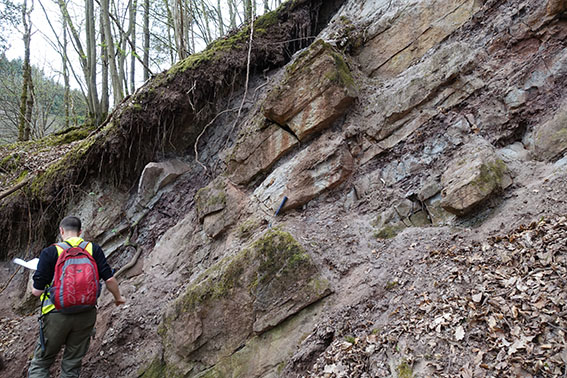
The 7-days BSc-mapping course between the 3. and 4. semerster is based at the city of Kirn. Students learn to find and identify rocks and document rocks and their location and a orientation in the field. Objective of the course is to produce a geological map and -report, as well as geological cross section, which allows to infer on the deeper subsurface.
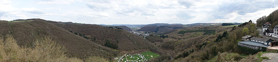
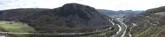
We discover magmatic, matamorphic and sedimentary rocks at the transition of the Rhenohercynian and Saar-Nahe basin. We discover compressional and extensional structures, sedimentary structures and depositional settings, as well as economic utilizilation of the subsurface.
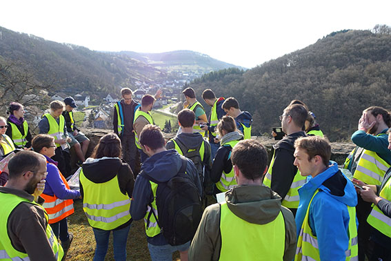
Day 1 Arrival from Karlsruhe, joint field seminar
- Day 2-6 mapping in small groups of 3 students
- Day 7 joint final field seminar
- integration in regional framework
- Presentation of map and special discoveries of each group
- Driving back to Karlsruhe