
Scottish Highlands
The one-week field course in the Scottish Highlands is an elective course at KIT. It was a compulsory part of the course Crystalline Geology (Ardnamurchan & Glenfinnan - until 2011, Appin, Ballachulish, Glen Coe, Kerrera island - since 2012, Kinlochleven) for the BSc-majors. Its goal is a fundamental understanding of processes in magmatic and metamorphic rocks, including sedimentary and structural aspects and a general understanding of the geological history of the region and link it to the local stratigraphy of the Karlsruhe region.
Contents cover contact metamorphism around the Ballachulish pluton, volcanism and fault intrusions of Glen Coe, Dalaradian metamorphism and deformation on Kerrera, as well as regional metamorphism and mapping of crystalline rocks around Kinlochleven. Whole-day exercises in the field are followed by additional short lectures in the evening, which also covers the accurate work of field notes.
- day 1 Glen Coe outcrops
- day 2 Kerrera Island
- day 3 Beach walk Loch Leven
- day 4 mapping Maromore ridge
- day 5 mapping Maromore ridge
- day 6 summary
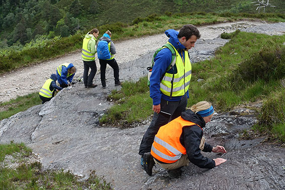
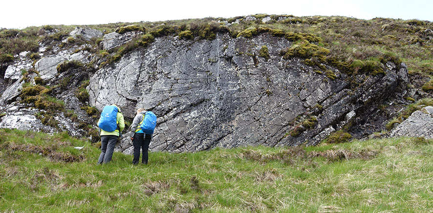
picture above: Scotland 2017 Ivy teaching students refolded folds
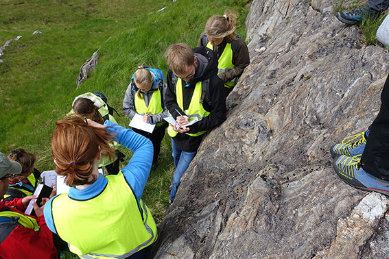
picture above: Scotland 2017 taking notes refolded folds
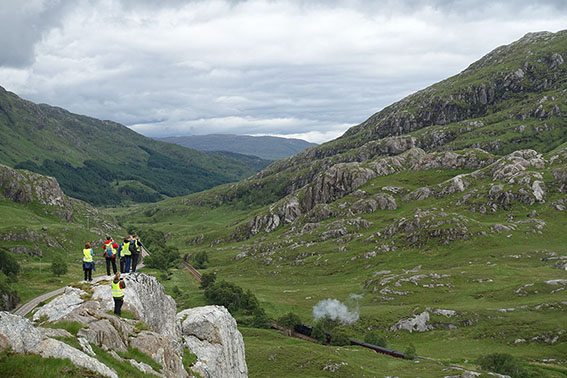
picture above: Students watching the Jacobite Steam Train (from Fort William to Mallaig) near Glenfinnan 2017
Scotland 2015
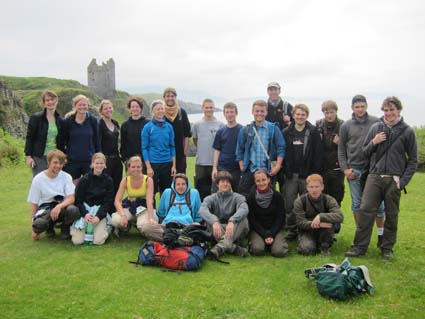
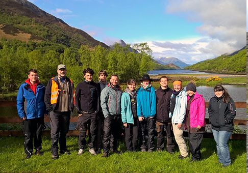
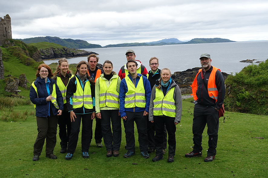
picture above: Scotland 2012, group picture on Kerrera island
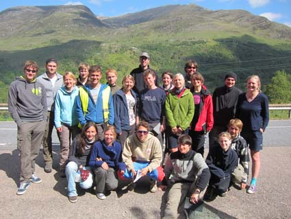
Schottland 2012, vor der Rückfahrt am Loch Leven
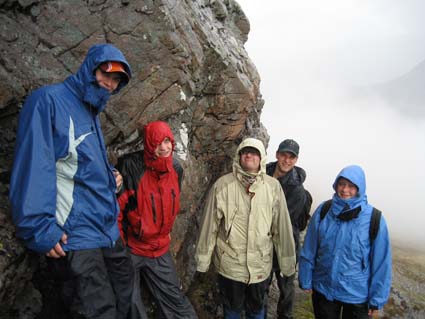
picture above: Scotland 2006, soaking wet at the pseudotachylite outcrop of Glen Coe caldera
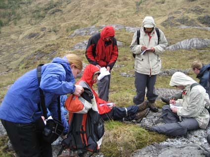
picture above: Scotland 2006, soaking wet taking notes
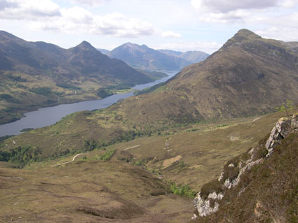
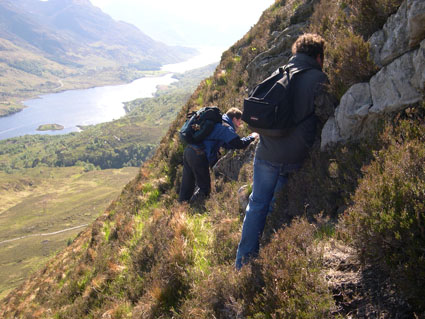
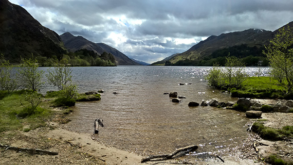
picture above: Kinlochleven Loch form the upper mapping area
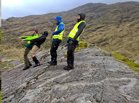
picture above: Scotland 2017 students on Kerrera
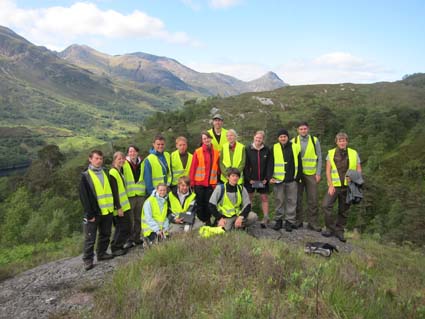
Scotland group picture 2015 Kinlochleven campsite
picture above: Scotland 2012
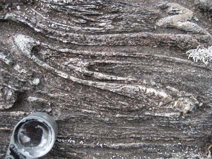
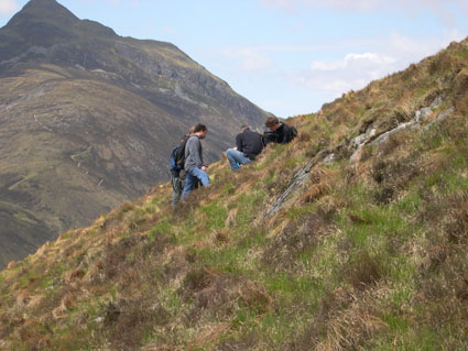
refolded fold in mapping area near Kinlochleven
![]()
picture above: measuring foliation during mapping
picture above: measuring foliation during mapping
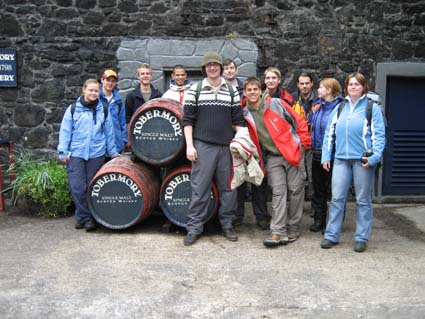
picture above: Scotland mapping 5-2006, visiting Tobermory on Mull island
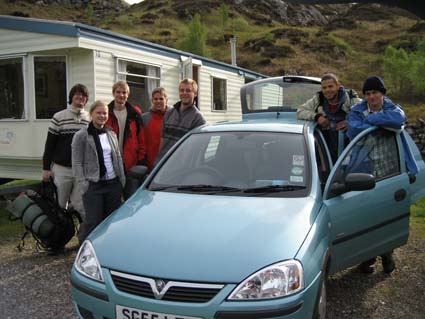
traveling 2006 Ryan Air to Glasgow, rental car to Kinlochleven Caolasnacon Caravan & Camping Park
recumbent folds of quarzite, Scotland 2017 mapping above Kinlochleven
Scotland's stormy weather, 2015
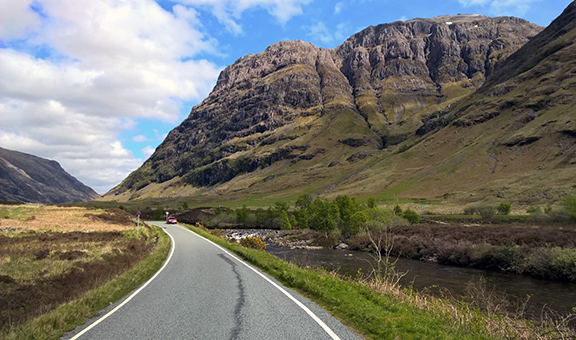
Scotland Glen Coe
Scotland Glenfinnan
all photos from Chris